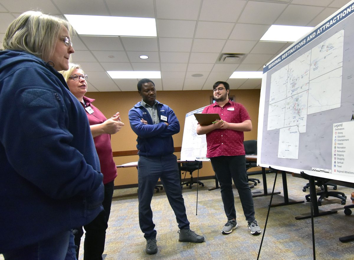
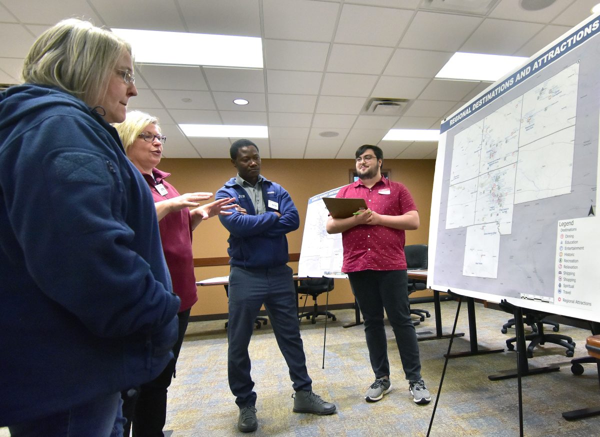
SOLON — Solonites had the opportunity to learn about the current state of transportation, and what it may look like in the future during a Feb. 29 open house hosted by the East Central Iowa Council of Governments (ECICOG) at Solon’s City Hall. ECICOG is an intergovernmental council established in 1973 providing professional planning, programming, and technical assistance to county and municipal governments in Benton, Cedar, Iowa, Linn, Johnson, Jones, and Washington counties. The organization successfully applied for grants totaling $29,845,000 in investments in the region last year across a wide spectrum of initiatives including housing, community development, environmental services, and transportation.
Survey says…
The ECICOG conducted an online survey last summer asking Johnson County residents for their input on transportation issues. In particular the survey asked about walking and biking behaviors (user options, transit options, frequency of use, reasons of use), attitudes and perceptions (safety, convenience, affordability, sidewalk conditions, trail conditions, and attractiveness), and opportunities (facilities, information, conditions, programs, interventions, strategies, and connectivity’s). 126 responses were received with 16 from Solon. Hills led with 29 responses followed by Oxford (25), and Swisher (24). Four responses came from Coralville with none from Iowa City. Throughout the seven-county area over 400 responses in total were received.
Justice Inkroom, a Planner, Transportation and GIS with ECICOG, created a “dashboard” summary of the responses from Johnson County.
42% of respondents reported they walk all year at an average of 2-5 miles. 52% have parks or recreation areas as a destination, 34% have a trail head or segment as a destination, and 23% have city services as a destination. 84% of the walkers stated it was for exercise and/or recreation, 11% said it was because it is nature friendly while 6% said it was cheaper.
Among those who do not walk often 40% said it was due to a lack of sidewalk connections, 35% cited a lack of, or poor sidewalk conditions and 31% said their destination was “too far.” 70% said they would walk more if there were more trails, 46% wanted more regional trail connections, 46% wanted improved sidewalks, and 16% want improved pedestrian crossings.
47% said they bike seasonally with 36% having parks or rec areas as a destination, 36% having a trail head or segment as a destination, and 9% riding to city services. Among those who do not bike often 40 said there is a lack of bike facilities, 40 felt traffic made it too dangerous, 26 respondents cited a lack of regional bike connections, and 23 said their destination was “too far.” 60% of bicyclists said they would ride more if there were more regional trail connections, 43% want more separate bike and vehicle lanes, 9% want more signage or wayfinding, and 8% desire more bike parking facilities.
When asked about connectivity in general 27% of respondents with 2-5 years and more than 20 years of homeownership consider more local trails and connections to regional trails as the way forward.
To see more results go to https://tinyurl.com/5cwm49we.
A plan is born
Mary Rump, ECICOG’s Transportation Director, explained the organization is looking at improving the quality of life and walkability by crafting an Active Transportation Plan (ATP). The process began nearly a year ago and the open house event was a way to bring people up to speed on the information that has been collected and to seek their input. “We’ve done new trail plans in the past and we focused primarily on how people use trails not recognizing that there’s other types of walking and pedestrian facilities that are available that can serve that purpose as well,” said Rump. For example, the organization is looking at sidewalks in the region and making communities more pedestrian friendly and accessible. “We hadn’t focused a lot in the past on our sidewalk infrastructure but it’s a pretty significant component of the system.”
ECICOG visited all 73 communities in the region and did an assessment of their sidewalks looking at their overall condition and accessibility. “We rated the sidewalks as ‘good,’ ‘fair,’ or ‘poor.’ The intent was not to determine whether a homeowner’s sidewalk was in poor condition and needed to be replaced, it was more ‘high level,’ or at a ‘city level’ as to what condition the sidewalks were in” Rump explained.
Solon’s sidewalks a point of pride for the community
“Solon ought to be pretty proud of themselves because when we did the assessment, we found that the majority of their sidewalks were in relatively good condition,” she said. Solon, they found, has a total of 28.8 miles of sidewalks with 28.5 considered “good,” 0.3 miles “fair,” and none considered “poor.” They did find 7.8 miles within the city limits without sidewalks, but all 28.8 miles were considered ADA (Americans with Disabilities Act) accessible, and “safe.” The high percentage stood out as a rare exception, she noted. “We’re not trying to compare or refer to one community as ‘good’ or ‘bad’ because of the condition of their sidewalks, it’s just pretty obvious there’s been a lot of work done here. As we went out there were a couple of cities where we could obviously see that there had been some planning, and there had been some investment in the sidewalk infrastructure, and Solon happened to be one of them.” For most residents, she said, Solon is a “fairly walkable community. So, again, I would say kudos to the community for putting in the time and the work and the effort.”
Bike lanes to improve mobility
“We also have the ability to use our existing roadways as part of our bicycling and pedestrian network, so we’re trying to gauge, based on usage, the traffic volumes and speeds, which roads might be eligible (for funds to make improvements incorporating non-vehicular traffic), and then the community’s input,” Rump said. National data (and federal standards) tells planners, based on traffic volume and usage, a particular road might be eligible for the addition or creation of dedicated bike lanes. However, the actual local conditions might contraindicate adding a bike lane. Rump noted adding bike lanes, where appropriate, provide a measure of equity for people who do not drive either by choice or by lack of a vehicle. “That’s really the purpose of trying to make (streets and highways) as multimodal as they possibly can.” Bike lanes are less common in the rural areas than in urban centers such as Cedar Rapids, “But they are a possibility.” She conceded so-called “road diets,” which take multi-lane roads and reduce them to one lane in each direction with a full-length center turning lane and outer bike lanes, can be “aggravating for vehicular use, but if you’ve been looking for a way to get around without a car, it’s a huge benefit.”
The ATP, based on federal standards for roadways with a 55-mph speed limit and average daily traffic count of less than 6,500, looks at where on-road bike lanes between cities could be a possibility. In the Solon area, portions of Highway 1, Ely Road, Mehaffey Bridge Road, and Highway 382 meet the criteria. Of course, the Hoover Trail already follows Ely Road on the former Rock Island railroad right of way, and a paved trail runs along Mehaffey Bridge Road between Solon and North Liberty.
“One of the things we’re doing in these meetings is, we know based solely on the data that these roads meet that threshold, but oftentimes locally, people will have a better understanding of geography and the use. So, they may say ‘With the hills that are in that area I would never encourage anybody to use that,’ or ‘Based on the truck traffic, that would be a no-go for me.’ So, part of what we’re doing is having people help us identify or have a better understanding of, even though it meets the threshold, would we actually encourage bikers or pedestrians to use those routes.”
Destinations and making connections
“We know the purpose of the network is to connect destinations and to connect people with the places they want to go. So, we’re asking people to help us to identify what those destinations are.” A chart on display mapped out several areas in Johnson County such as Stringtown in the SW corner and the historic Sutliff Bridge/Baxa’s Sutliff Store and Tavern in the extreme NE corner. “We got a lot of feedback on destinations in Johnson County,” she said, “Some of our surrounding counties, we didn’t get as much (none were listed for Cedar County, as an example despite being home to the Herbert Hoover Presidential Library and Museum in West Branch), so as we go through these public input processes, especially in those counties, we are trying to get additional input.” Examples of destinations include parks (such as F. W. Kent Park near Oxford), trails, and even events such as Solon Beef Days.
How to pay for it all?
“We aren’t quite to that stage yet,” Rump said pointing out ECICOG is still very much gathering input. “Obviously, we will address some of the financing in the plan, but we don’t have the plan drafted yet. But part of the reason we’re talking about the different types of facilities is that it doesn’t always have to be a multi-use trail. And it’s part of the reason why things like on-road facilities are being encouraged. They’re relatively low-cost. Painting a road costs a lot less than paving a trail.” Part of ECICOG’s message, she added, is just because a community cannot afford a trail, which she acknowledged are expensive, there are still ways to create those connections.
Solon and The Corridor in general are fortunate, she said, in that abandoned railroad right of ways were available for Rails to Trails conversion with the aforementioned Rock Island railroad through Solon and Ely (and in Cedar Rapids), the Milwaukee Road from Cedar Rapids through Marion and heading off to the east, and the Waterloo, Cedar Falls, and Northern (Cedar Valley Nature Trail) running north out of Cedar Rapids.
“It’s expensive, and I don’t know that everybody has a good understanding of how to pay for it but we’d like to provide them with a few options.” Rump added there are various grants available to pay for trails, sidewalks, etc. “But you have to have a plan in place to be eligible so this is the place to start (drafting a plan), and documenting the need, the potential, the connections, the reasons ‘why.’ But if there isn’t a grant available, if there isn’t a lot of local money available, what are some of the options to make sure that you’re still being equitable and you’re still providing an option for people who don’t want to or can’t use a car? Our thought process is to present information in a way that gives communities options.”
East Central Iowa Council of Governments (ECICOG) staff held an open house focused on transportation planning in the Solon City Hall on Feb. 29. The organization is formulating an Active Transportation Plan for a seven-county area including Johnson with a focus on non-vehicular modes including bicycles and pedestrians.


